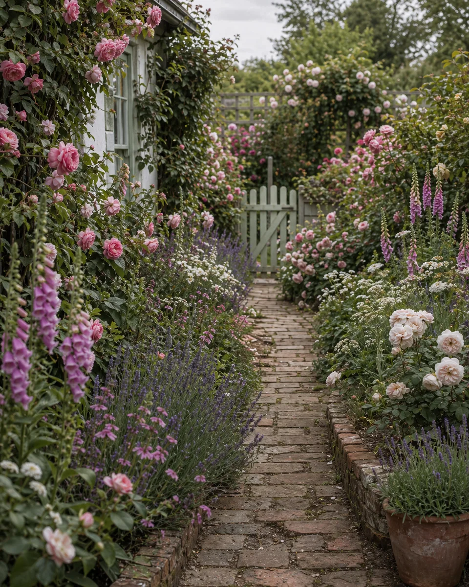
Find the plants that survive your winter.
Hardiness zones 3–13 mapped to plant picks, seasonal jobs, and design ideas — including published USDA half-zones (4a / 4b through 12a / 12b). Pick your zone and skip everything that won't make it through February.
All zones
- 3 -40°F to -30°F (-40°C to -34°C)
USDA Zone 3: Gardens That Survive Brutal Cold
Northern Minnesota, North Dakota, northern Montana, interior Alaska, and much of the Canadian prairies (Winnipeg, Saskatoon, Edmonton).
- 4 -30°F to -20°F (-34°C to -29°C)
USDA Zone 4: Short Seasons, Big Rewards
Northern New England, upstate New York, northern Michigan, Wisconsin, Minnesota, Iowa, the Dakotas, Wyoming, Montana, and Idaho.
- 4a −30°F to −25°F (−34.4°C to −31.7°C)
USDA Zone 4a: The Colder Half of Zone 4
Colder mapped cells inside Zone 4. State guides on this site that already list 4a include New York, Michigan, and Colorado. The Michigan guide describes 4a as the Upper Peninsula end of that state’s span. Wisconsin Horticulture’s 2023-map note describes 4a across most of northern Wisconsin, together with 4b. Verify the USDA map for your address — a state span is not your parcel.
- 4b −25°F to −20°F (−31.7°C to −28.9°C)
USDA Zone 4b: The Warmer Half of Zone 4
Warmer mapped cells inside Zone 4. State guides on this site that already list 4b include New York, Michigan, Arizona, Washington, Colorado, and Oregon. Wisconsin Horticulture’s 2023-map note describes 4b across most of northern Wisconsin, together with 4a. Verify the USDA map for your address — a state span is not your parcel.
- 5 -20°F to -10°F (-29°C to -23°C)
USDA Zone 5: Four-Season Gardens with Range
Central New England, lower Great Lakes, most of Ohio and Indiana, central Illinois, northern Missouri, Kansas, Colorado, Utah, Nevada, and parts of the Pacific Northwest interior.
- 5a −20°F to −15°F (−28.9°C to −26.1°C)
USDA Zone 5a: The Colder Half of Zone 5
Colder mapped cells inside Zone 5. State guides on this site that already list 5a include California, New York, Illinois, Michigan, Arizona, Washington, Colorado, and Oregon. The Illinois guide describes 5a as the northern end of that state’s span. University of Wisconsin–Madison Extension (December 2023) describes 5a north of Dane County through southwestern Wisconsin. Verify the USDA map for your address — a state span is not your parcel.
- 5b −15°F to −10°F (−26.1°C to −23.3°C)
USDA Zone 5b: The Warmer Half of Zone 5
Warmer mapped cells inside Zone 5. State guides on this site that already list 5b include California, New York, Illinois, Michigan, Arizona, Washington, Colorado, Oregon, Pennsylvania, Ohio, North Carolina, and Virginia. University of Wisconsin–Madison Extension (December 2023) describes 5b at Madison and around Lake Winnebago. Verify the USDA map for your address — a state span is not your parcel.
- 6 -10°F to 0°F (-23°C to -18°C)
USDA Zone 6: The Widest Plant Palette
Southern New England, mid-Atlantic interior, Ohio River valley, most of Pennsylvania, West Virginia, Kentucky, Tennessee, southern Missouri, Arkansas, Oklahoma, northern Texas, and much of the Pacific Northwest coast.
- 6a −10°F to −5°F (−23.3°C to −20.6°C)
USDA Zone 6a: The Colder Half of Zone 6
Colder mapped cells inside Zone 6. State guides on this site that already list 6a include Illinois, Michigan, New York, Ohio, and Pennsylvania. University of Wisconsin–Madison Extension (December 2023) describes new 6a along the western Lake Michigan shore from the Chicago area and Kenosha County into southeastern Sheboygan County, plus Washington Island. Verify the USDA map for your address — city labels straddle halves.
- 6b −5°F to 0°F (−20.6°C to −17.8°C)
USDA Zone 6b: The Warmer Half of Zone 6
Warmer mapped cells inside Zone 6. This site’s state guides already list 6b for Illinois, Michigan, New York, Ohio, Pennsylvania, and Texas (where the cold edge of the state span starts at 6b). Verify the official interactive map for your exact location — do not treat a state list as a city-level assignment.
- 7 0°F to 10°F (-18°C to -12°C)
USDA Zone 7: Mild Winters, Long Seasons
Most of Virginia, North Carolina coast and Piedmont, parts of Tennessee, northern Georgia and Alabama, the Ozarks, much of Oklahoma and Texas Panhandle, New Mexico interior, Arizona mountains, and the California interior coast and Central Valley.
- 7a 0°F to 5°F (−17.8°C to −15°C)
USDA Zone 7a: The Colder Half of Zone 7
Colder mapped pockets inside the Zone 7 band, including places the 2023 map places in 7a such as St. Louis (MO), Wichita (KS), and Louisville (KY), plus cooler Piedmont and interior foothill parcels — including colder California interior / foothill 7a cells listed on state guides. Always verify the official interactive map for your exact location.
- 7b 5°F to 10°F (−15°C to −12.2°C)
USDA Zone 7b: The Warmer Half of Zone 7
Warmer mapped cells inside Zone 7, including places the 2023 map places in 7b such as Nashville (TN), New York City, Philadelphia, Oklahoma City, and Tulsa, plus warmer Piedmont and coastal-plain parcels and California interior 7b cells where the state guide already names the half-zone. Verify the USDA map for your address.
- 8 10°F to 20°F (-12°C to -7°C)
USDA Zone 8: Southern Garden Territory
Coastal North Carolina, South Carolina, Georgia, Alabama, Mississippi, Louisiana, Arkansas, most of Texas, New Mexico lowlands, Arizona mid-elevations, California interior, and the Pacific Northwest coast.
- 8a 10°F to 15°F (−12.2°C to −9.4°C)
USDA Zone 8a: The Colder Half of Zone 8
Colder mapped pockets inside the Zone 8 band, including inland Piedmont and upper Gulf cells the 2023 map places in 8a (for example parts of the Georgia Piedmont, northern Alabama, central Arkansas, and inland East Texas), plus cooler California interior / foothill 8a parcels already listed on state guides. Always verify the official interactive map for your exact location.
- 8b 15°F to 20°F (−9.4°C to −6.7°C)
USDA Zone 8b: The Warmer Half of Zone 8
Warmer mapped cells inside Zone 8, including coastal and Lowcountry parcels the 2023 map places in 8b (for example parts of coastal Georgia and South Carolina, Gulf-adjacent cells, and milder Pacific Northwest coastal strips), plus warmer California interior 8b cells where state guides already name the half-zone. Verify the USDA map for your address.
- 9 20°F to 30°F (-7°C to -1°C)
USDA Zone 9: Subtropical Abundance
Central and north Florida, coastal Gulf states, south Texas, most of central and southern California, and Arizona desert valleys.
- 9a 20°F to 25°F (−6.7°C to −3.9°C)
USDA Zone 9a: The Colder Half of Zone 9
Colder mapped pockets inside the Zone 9 band, including north-central Florida, cooler inland Gulf and south Texas cells, and inland California / foothill 9a parcels already listed on state guides (California’s 5a–11a span, Texas 6b–9b, Florida 8b–11a, Georgia’s 9a fringe). Always verify the official interactive map for your exact location.
- 9b 25°F to 30°F (−3.9°C to −1.1°C)
USDA Zone 9b: The Warmer Half of Zone 9
Warmer mapped cells inside Zone 9, including central Florida, milder Gulf-adjacent and south Texas parcels, and warmer California interior / coastal-adjacent 9b cells where state guides already name the half-zone. Verify the USDA map for your address.
- 10 30°F to 40°F (-1°C to 4°C)
USDA Zone 10: True Tropical Gardening
South Florida (Miami, Fort Lauderdale), the Florida Keys, parts of coastal southern California (San Diego, LA coast), and low-elevation areas of Arizona (Phoenix, Tucson lowlands).
- 10a 30°F to 35°F (−1.1°C to 1.7°C)
USDA Zone 10a: The Colder Half of Zone 10
Colder mapped pockets inside the Zone 10 band, including cooler South Florida parcels north of the warmest coastal strip, inland or foothill California Zone 10 cells, and desert-adjacent Arizona lowlands that still see rare light freezes — already listed among California’s 5a–11a, Florida’s 8b–11a, and Arizona’s 4b–10b spans. Always verify the official interactive map for your exact location.
- 10b 35°F to 40°F (1.7°C to 4.4°C)
USDA Zone 10b: The Warmer Half of Zone 10
Warmer mapped cells inside Zone 10, including warmest South Florida and Keys-adjacent parcels, milder coastal Southern California Zone 10 cells, and the warmest Arizona lowland pockets where state guides already name the half-zone. Verify the USDA map for your address.
- 11 40°F to 50°F (4°C to 10°C)
USDA Zone 11: Frost-Free Paradise
The Florida Keys, Hawaii (lower elevations), Puerto Rico, the US Virgin Islands, and select microclimates in coastal southern California and southern Arizona.
- 11a 40°F to 45°F (4.4°C to 7.2°C)
USDA Zone 11a: The Colder Half of Zone 11
Colder mapped cells inside Zone 11, including Florida Keys parcels and cooler coastal Hawaii elevations the 2023 map places in 11a, plus any southern California or Caribbean microclimate that the official ZIP lookup returns as 11a. Verify the USDA map for your address — city labels straddle halves.
- 11b 45°F to 50°F (7.2°C to 10°C)
USDA Zone 11b: The Warmer Half of Zone 11
Warmer mapped cells inside Zone 11 — lowland and windward Hawaii parcels and the mildest Caribbean or Florida Keys microclimates the 2023 map places in 11b. Secondary guides sometimes name Hilo as an illustration of this half; the USDA ZIP lookup is the source of truth for your address.
- 12 50°F to 60°F (10°C to 16°C)
USDA Zone 12: Equatorial Garden Conditions
Hawaii (lowland and coastal areas), US Virgin Islands (St. Croix, St. Thomas, St. John coastlines), far southern Puerto Rico, and some extreme-southern-Florida microclimates.
- 12a 50°F to 55°F (10°C to 12.8°C)
USDA Zone 12a: The Colder Half of Zone 12
Mapped cells the 2023 USDA map places in Zone 12a. USDA says zones 12 and 13 appear only on the Hawaii and Puerto Rico maps. Coast, elevation, and rain shadow still move the half-zone. Verify the ZIP lookup — a place name is not an assignment.
- 12b 55°F to 60°F (12.8°C to 15.6°C)
USDA Zone 12b: The Warmer Half of Zone 12
Warmer mapped cells inside Zone 12. USDA says zones 12 and 13 appear only on the Hawaii and Puerto Rico maps. A state or island name is not your parcel. The ZIP lookup is.
- 13 60°F to 70°F (16°C to 21°C)
USDA Zone 13: Pure Tropical Climate
Southernmost Hawaii (Big Island coastal lowlands), Puerto Rico's southern coast, and the warmest parts of the US Virgin Islands. Equivalent to sea-level equatorial gardens worldwide.
Design a garden matched to your climate zone
Download Arden free and preview garden styles on your own photo.
No credit card. No signup. Just results.
Scan to download
Point your phone camera at a code